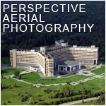
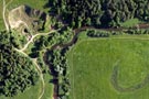
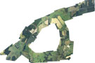
Aerial photo coverage
If you are interested in high-quality aerial photographs or video from a bird's flight, FLY-PHOTO - your company. Over three years, we present such services as aerial photography, aerial videography, aerial monitoring and much more. Our equipment allows us to any height at any speed, at any angle to make aerial high definition and superior resolution.
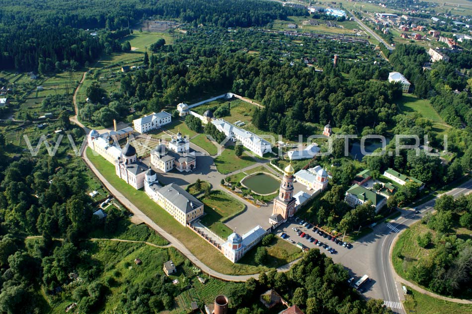
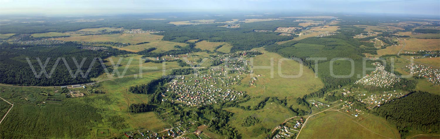
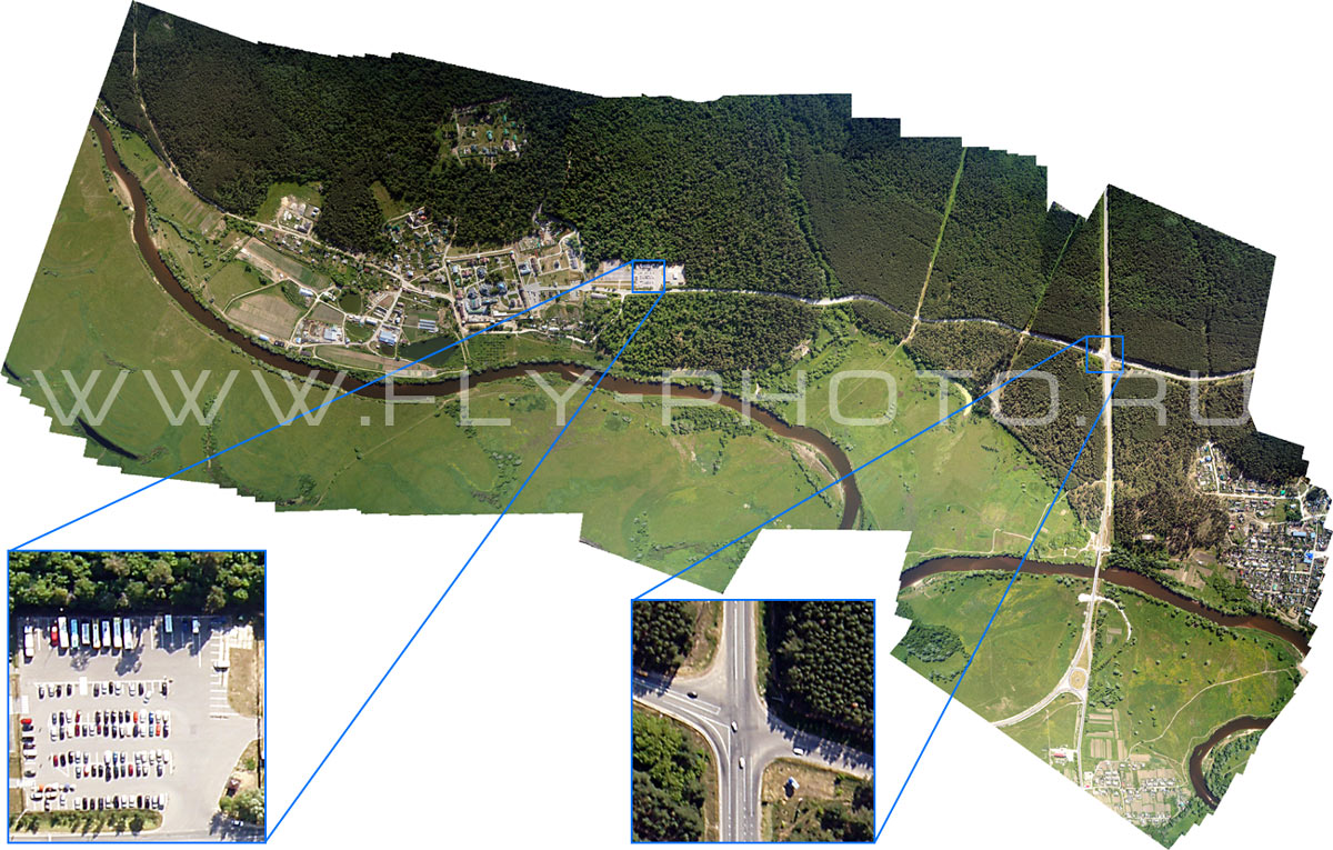
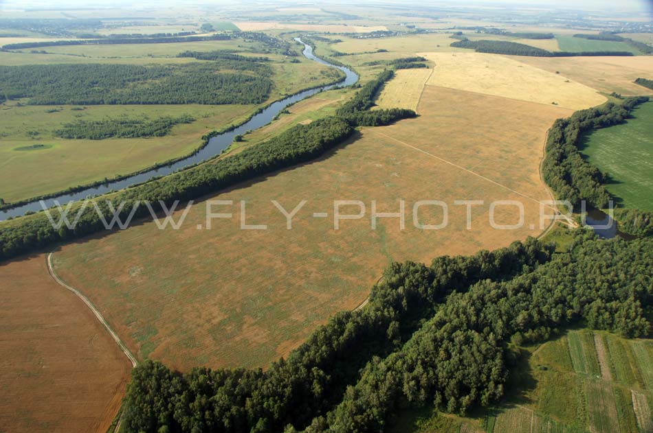
Our high-resolution aerial photography with up to 10 cm per pixel is an affordable offer, as opposed to satellite or aircraft of the same recording quality, especially when it comes to taking pictures of small squares. The mobility of our air assets can perform a full list of proposed services for aerial photography in the most remote places for a wide range of clients from individuals to large companies. Work is carried out in conjunction with staff of Peoples Friendship University of Russia, as well as the support staff of the Dokuchaev's Soil Institute, Russian Academy of Sciences.
We offer:
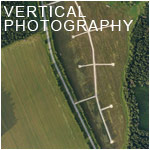
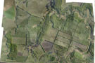
- Photo plans on a scale of 1:200 to 1:30000 with altitude ranging from 300 meters to 3 km;
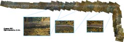
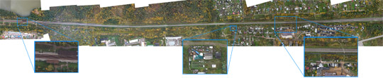
 Panoramic shot from the air with a viewing angle of 180 degrees, and if you desired we can produce a circular aerial photography of 360 degrees and runs from low altitudes from 50 to 300 meters for more detail, as well as at high altitudes - 300 - 700 meters, which gives a broad review resulting in a 10 to 40 aerophotos per object;
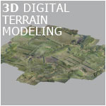
- 3D aerial photography;
You may be interested in the following directions of aerial photography:
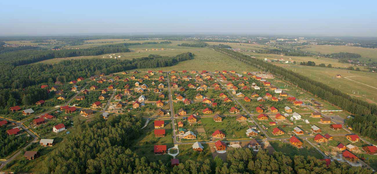
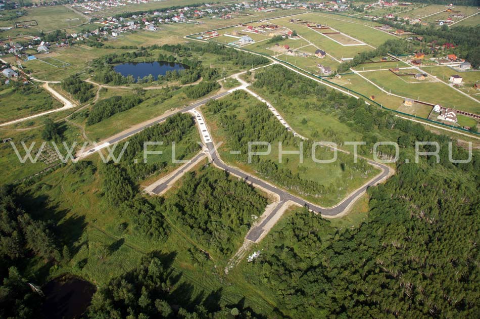
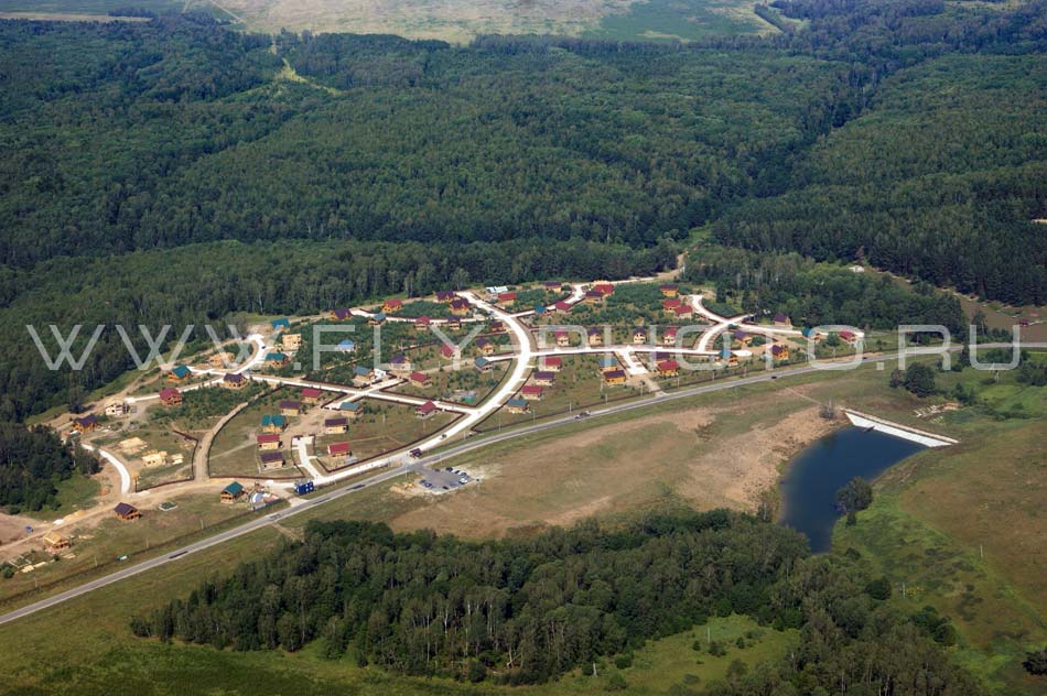
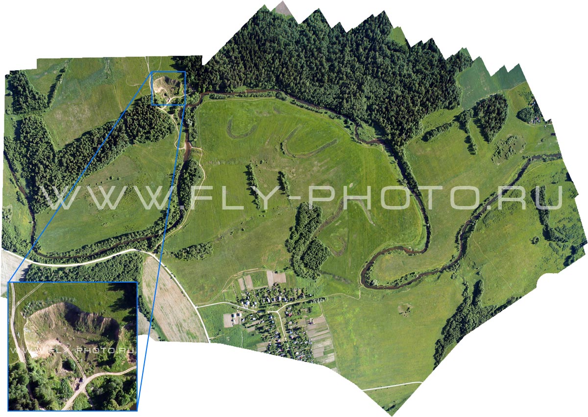
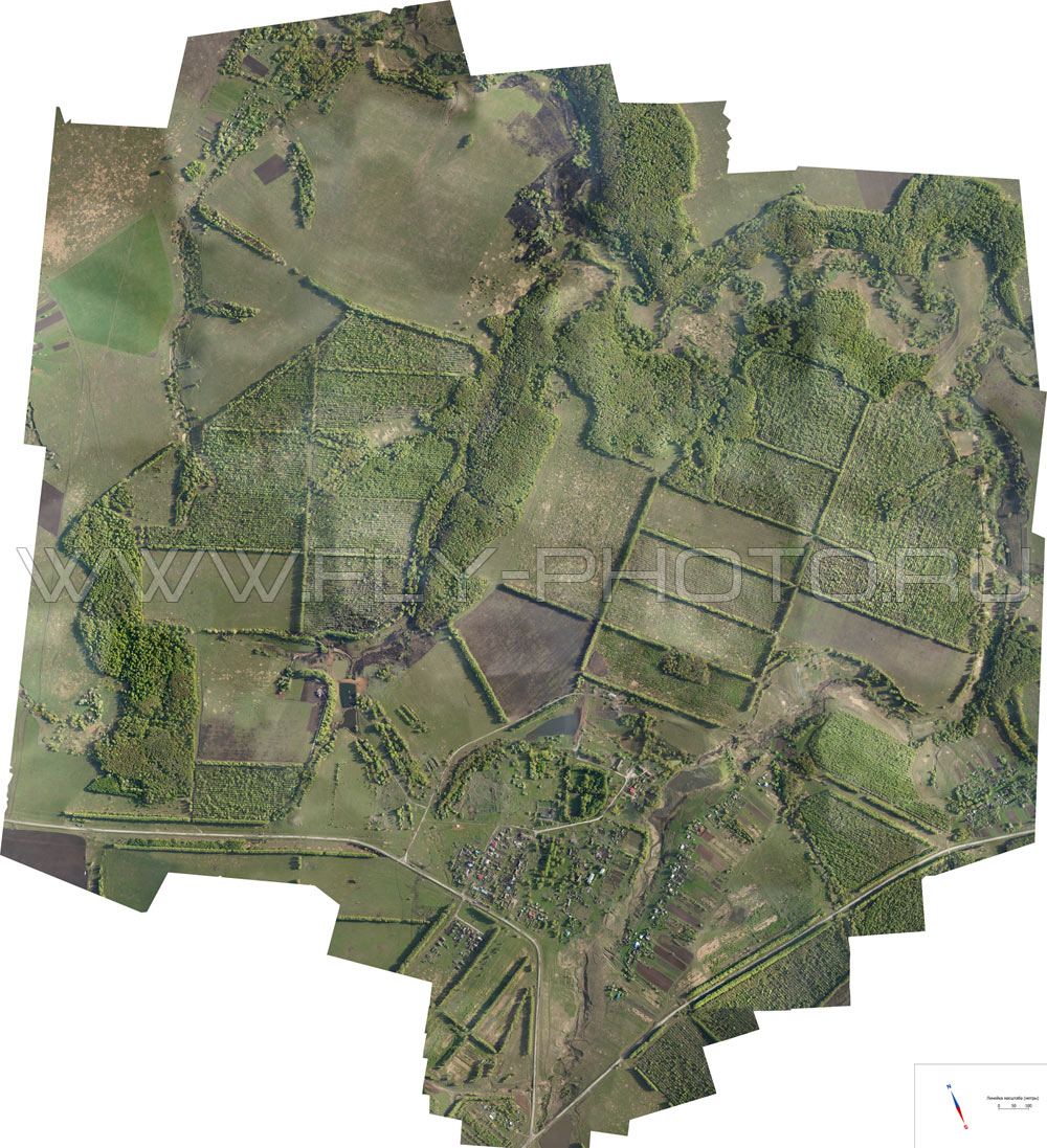
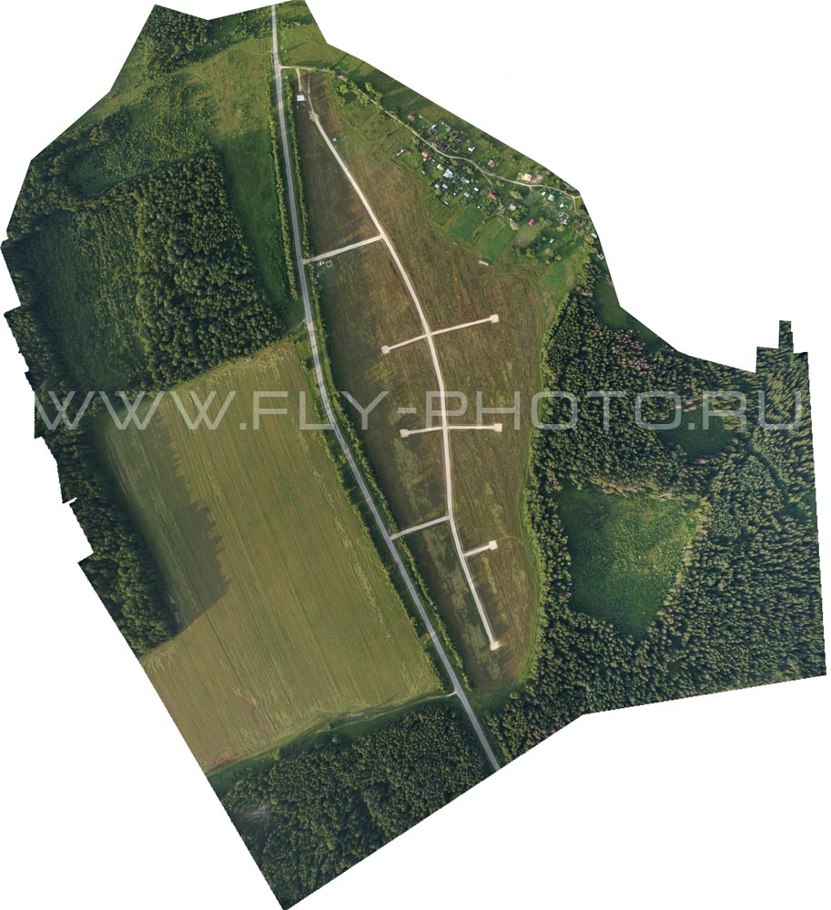
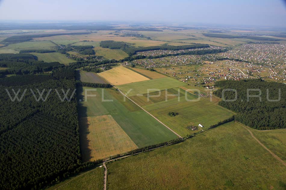
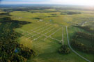
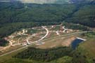
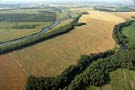
- Aerial surveys for cottage construction and agricultural use:
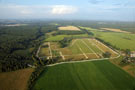
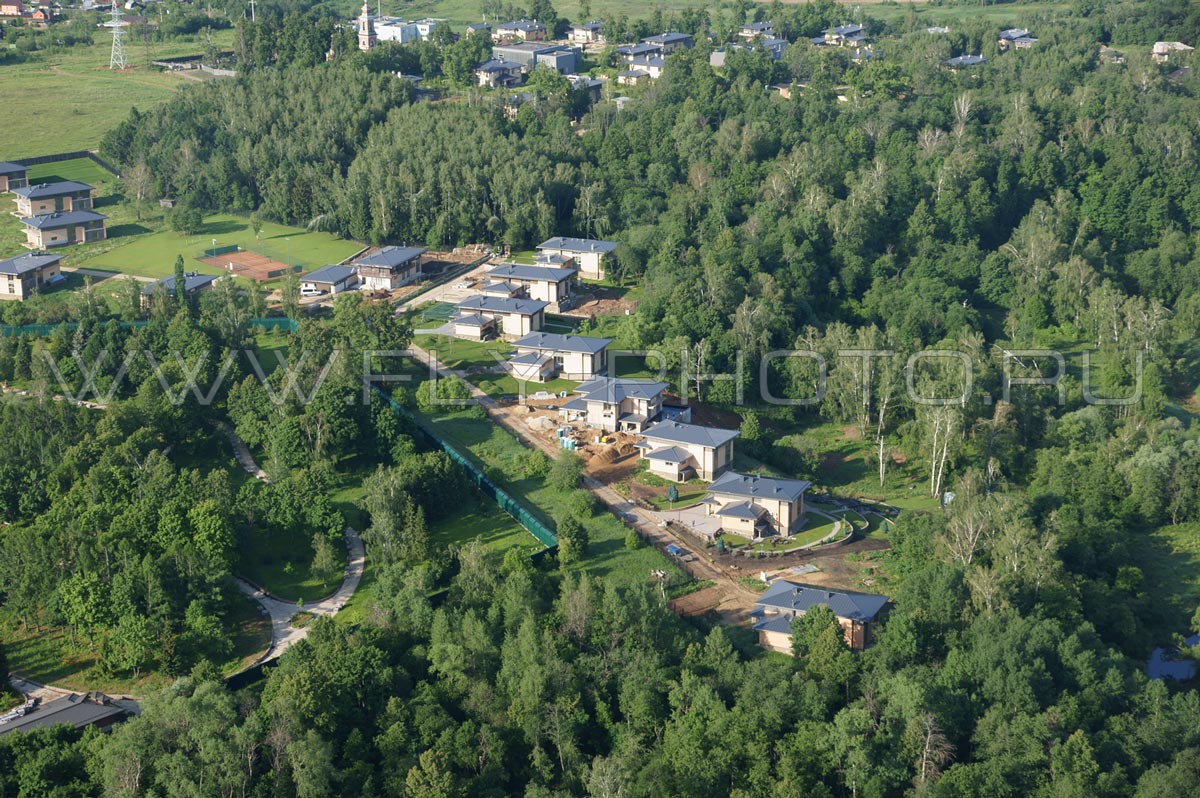
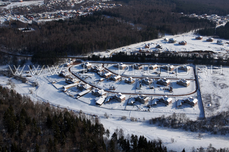
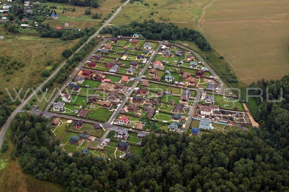
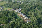
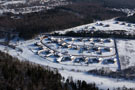
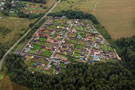
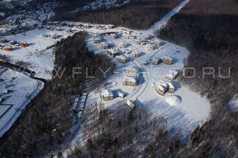
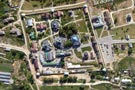
- Cottage and chalet villages placed in service:
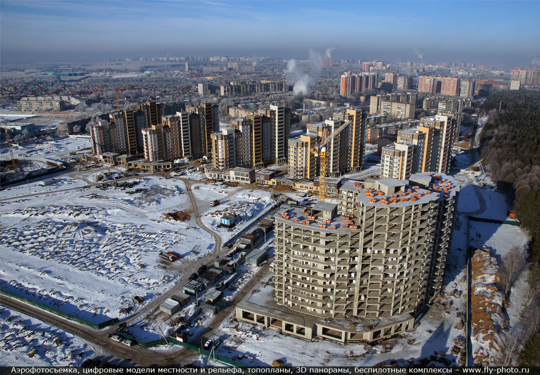
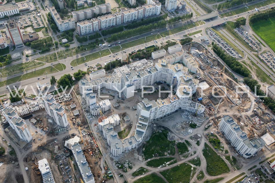
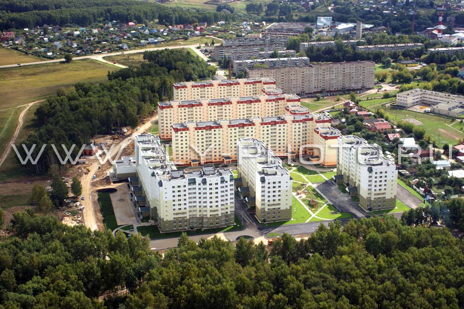
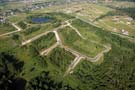
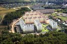
- Checking the construction phase:
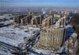
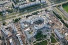
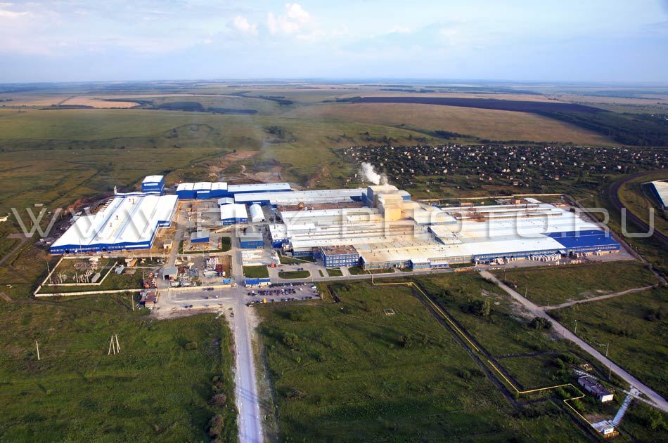
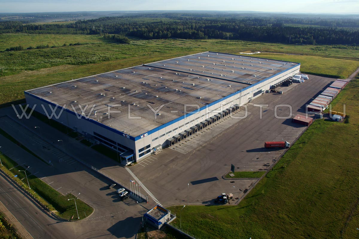
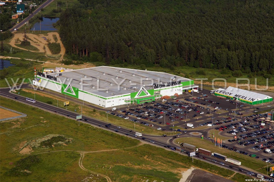
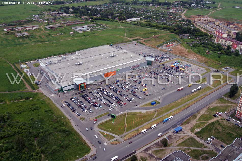
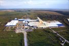
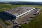
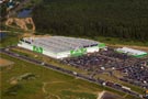
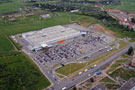
- Aerial view of large industrial sites for advertising and presentations:
- Land development:
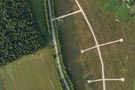
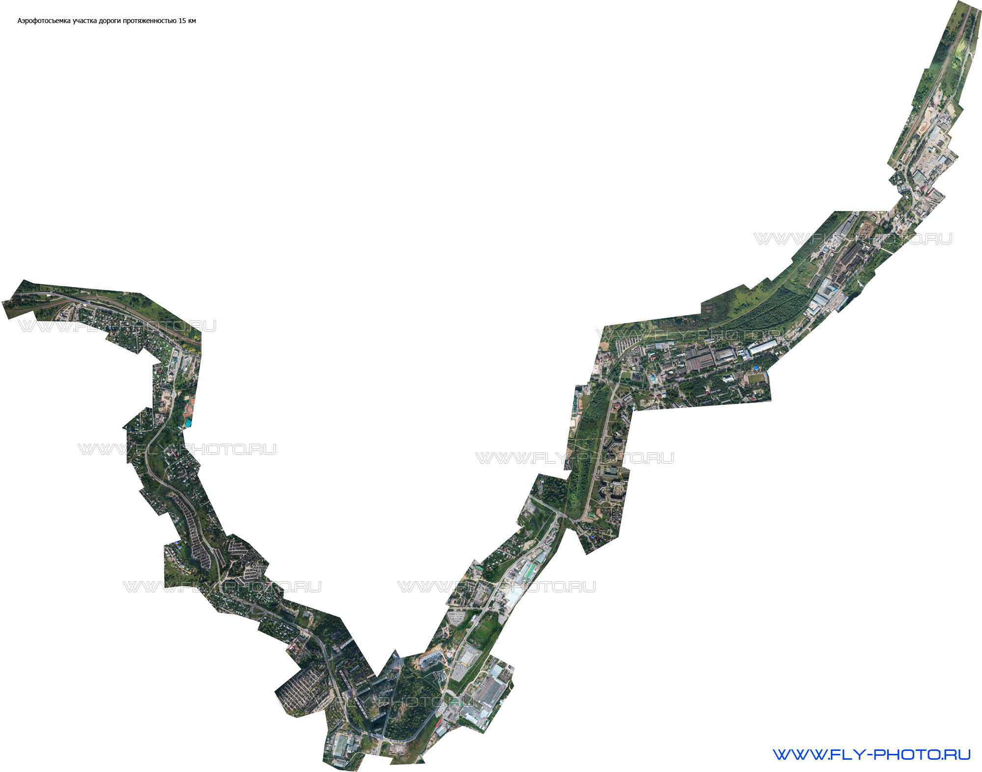
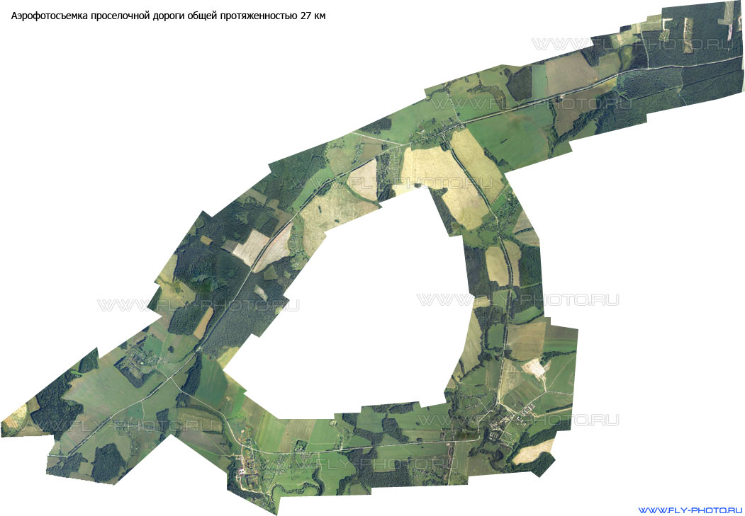
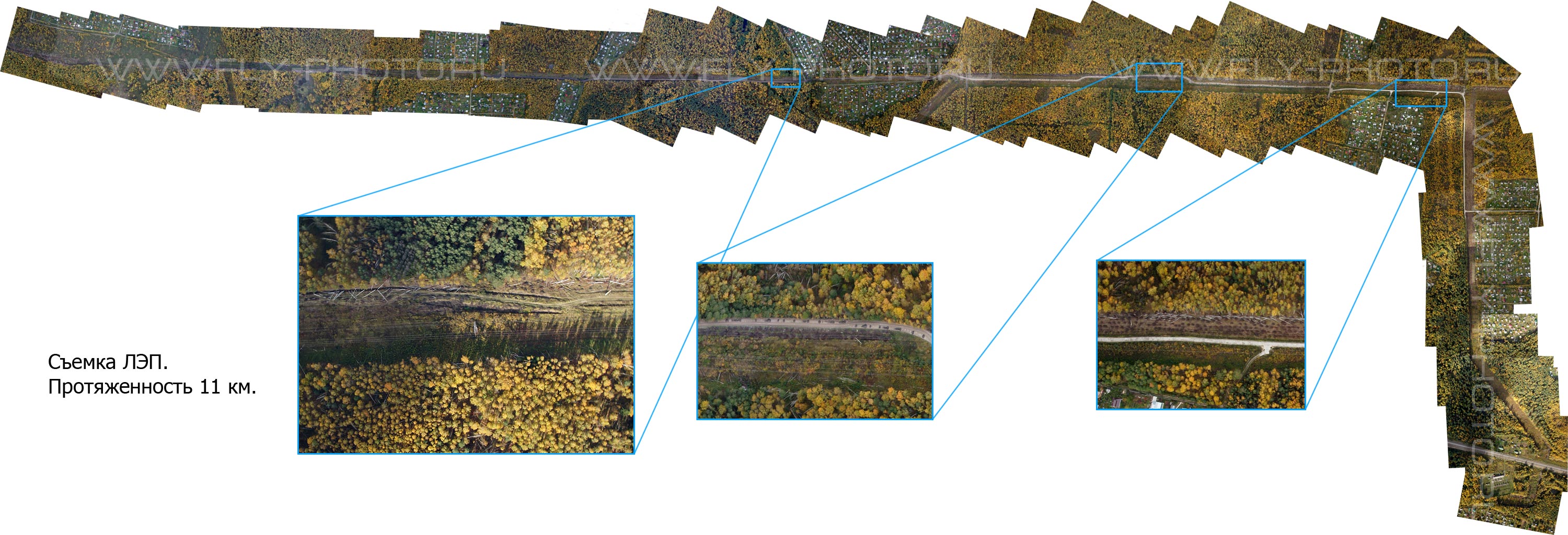
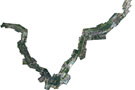
- Aerial view of the linear and extended objects (power lines, roads, railways, pipelines and cuttings):
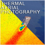
- Air monitoring of agricultural crops:

Finally, not unimportant issue - the price of Aerial Photography - FLY-PHOTO team does not form the cost of aerial photography (very rarely there may be exceptions) depending on the flight time as circled on it may take an hour maybe a week and all this time you have to pay - so works our competitors! Our price depends on the size of the area and than the greater area of the territory, than less the cost!