About us
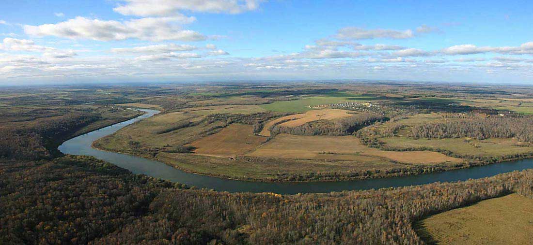
FLY-PHOTO is a full-service aerial photography business serving the needs of both commercial and residential clients. Our goal is to work with each client to provide the images needed for a variety of applications including site selection, marketing, construction progress, and sale of commercial properties.
We use the latest technology in digital camera systems and can provide digital files, printing, mounting, and laminating. Our mission is to provide stunning images for our clients.
FLY-PHOTO history begins in 2007 when, when the term "aerial photography" sounded like a distant and alien. At that stage it seemed that the only large aircraft and orbiting satellites is subject to conduct aerial photography of the earth's surface.
But it's actually a lot easier!
The very notion of "AERIAL PHOTOGRAPHY" is a derivative of two words - "aero" (from the Greek. Aer - air) and "photographer" (the first stage of the photographic process, conducted with the help of camera, during which a light-sensitive coating material under the action of light emitted or reflected the subject is, the process of emergence of the object) - means photographing the earth's surface from a height at the same distinction:
- vertikal photography - the camera is parallel to the earth's surface;
- oblique - the plane of the camera is at the desired acute angle to the ground.
We are only one who can conduct aerial surveys of objects and process area to 500 square meters. km. using small aircraft.